13/08/2026
The ski season lasted much longer in the past, but there’s a catch...
Pioneering work by a Resources Victoria research team led by geologist Ross Cayley has helped us to (finally) understand that some of Victoria’s most iconic landscapes were formed by moving ice.
One of the coolest things about science is that, as our understanding increases, familiar things can unexpectedly turn out to be different.
Pioneering work by a Resources Victoria research team led by geologist Ross Cayley has helped us to (finally) understand that some of Victoria’s most iconic landscapes were formed by moving ice.
While the presence of ancient – ~300-million-year-old – glacial rocks in Victoria is well known, how they got here, and their influence, hasn’t been properly understood.
With no active glaciers in Australia, Ross and the team looked to glacial regions elsewhere for inspiration.
Modern alpine glacial landscapes are typically dramatic, with high, pointed mountains surrounded by deep and steep glacier-carved valleys. Nothing like the gentle rolling hills and plateaus of Victoria today.
However, other types of landscapes can also be carved by ice.
When individual glaciers thicken and extend, they can merge into a single sheet of ice that envelops everything. This causes the underlying bedrock to erode more uniformly and form more open landscapes.
This happened in the Northern Hemisphere in the most recent ice age just 20,000 years ago, creating the rolling hills, open valleys and ice-scoured landscapes of central Scandinavia and central Canada.
Recognising this difference created an ‘aha!’ moment for Ross and the team – and changed our understanding of Victorian geology!
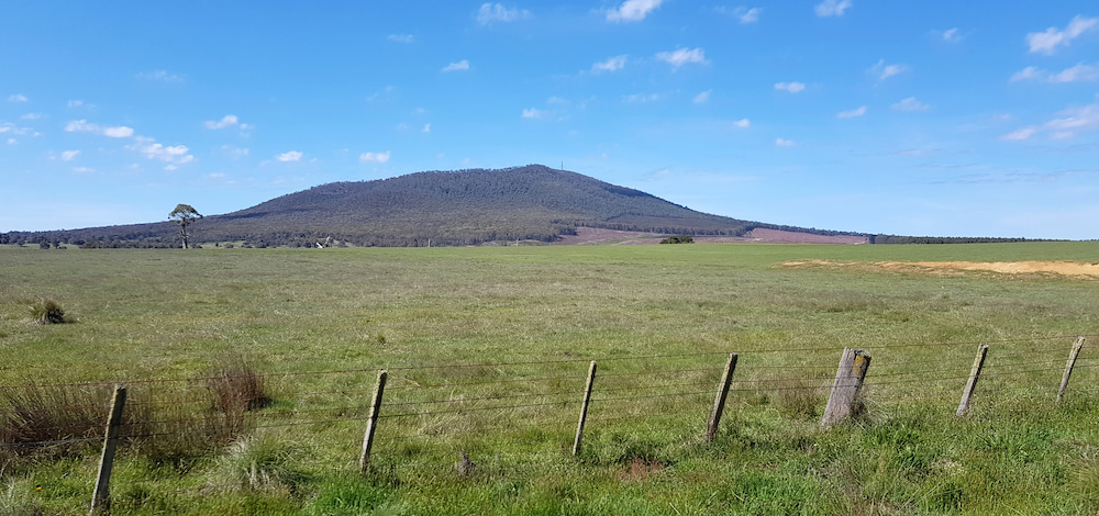
Prominent hills from Mount Macedon to Mount Alexander, west to Mount Beckworth and north to Mount Korong, could suddenly be reinterpreted. These hills look just like the isolated hills of central Sweden, and for the same reason: all were carved into shape beneath thick ice sheets.
Open U-shaped valleys from Beechworth to Barjarg, Buxton to Benambra, and even Wartook in Gariwerd now have a common explanation – they were formed as broad sub-ice-sheet valleys.
The formation of open, basin-like landscapes at Mansfield and Benambra can now be explained – as gigantic sub-ice-sheet depressions carved hundreds of metres deep into bedrock by the weight of ice moving above.
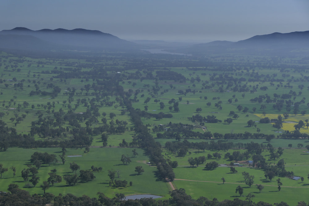
The only difference between these ancient examples and younger landscapes in the Northern Hemisphere is...time.
In Victoria, the ancient ice-scoured landscapes were quickly buried beneath glacial deposits as the ‘Late Palaeozoic Ice Age’ ended. They were later uplifted and exposed to erosion when Australia separated from Antarctica about 90 million years ago. This explains how they survive to this day.
Breakthroughs like this shift our appreciation of things we thought we understood.
That’s why science and geology are awesome.
Happy National Science Week!